Good evening everybody. I hope you are all having a wonderful weekend. First things first, we topped out at 75ºF this afternoon at Camp Mabry; 13 degrees above normal for this time of year. Tonight, look for increasing clouds with patchy areas of fog developing late tonight...lows will fall into the middle to upper 40s. A weak cold front will blow through the area during the day tomorrow, allowing for winds to turn to the northeast and for temperatures and humidity levels to drop slightly. Highs will climb into the 60s area wide with lows falling into the 40s Monday night. Temps will remain in the 60s for highs on Tuesday under a mostly cloudy sky. Highs will rebound to near 70ºF for Wednesday with highs soaring well into the 70s on Thursday thanks to a breezy southwesterly wind between 15-25 mph. The warm air advection and down sloping winds off of the mountains of northern Mexico will ensure a warm day here in Central Texas. The record high on Thursday is 81ºF set back in 1971; we will get very close! Strong cold front blows through the area late Thursday night into Friday morning dropping highs back into the 50s with lows back into the 30s for Friday through the weekend. Unfortunately, rain is not in the forecast for the upcoming week; long range forecast models are indicating some rain may enter the forecast by the 29th. We will keep our fingers crossed.
Sunday's High Temperatures from across central Texas:
Near Record Warmth on Thursday: GFS MODEL
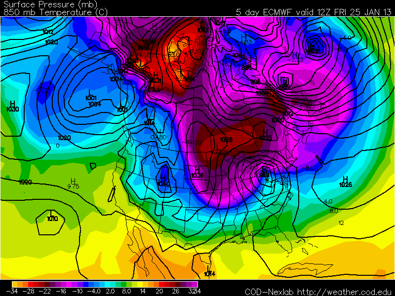
Colder for Friday into next weekend: ECMWF MODEL
GFS HIGH RESOLUTION MODEL (freeze possible Saturday night):
If you have any questions please do not hesitate to ask!


No comments:
Post a Comment