We officially topped out at 78°F this afternoon at Camp Mabry missing the record high of 81°F set back on this date in 1983. We've got a couple more well above average days tomorrow and Saturday ahead of Sunday morning's cold front that will help to knock high temperatures down closer to average for this time of year in the lower to middle 60s. That cooler air will come with a bit of price though on Saturday/Saturday night in the form of some thunderstorms.
>Some areas of fog will be possible across the area once again Friday morning. Please use caution when driving through fog and remember to use your low beam headlights.
>Record high in Austin on Friday is 83°F at Camp Mabry set back in 1950. Temperatures should easily manage the upper 70s to lower 80s across the area...we'll see a high near 80°F right here in Austin.
>Ahead of a deep trough of low pressure and upper level storm system that will be digging south across the western United States, Gulf of Mexico moisture will come flowing back up into the area at the lower levels of the atmosphere with Pacific moisture being brought into the area at the mid/upper levels of that atmosphere.
>This returning moisture will set the stage for showers and storms. As upper level disturbances and a Pacific Cold Front cross the area during the day on Saturday into early Sunday morning showers and thunderstorms look to become likely across the area.
>Some of the storms that develop Saturday afternoon, evening, and early Sunday morning have the potential to become strong or possibly even severe with strong, damaging winds being the primary threat along with locally heavy downpours and dangerous cloud to ground lightning (see more on this farther down)
>>>Moisture Return (Forecast look at wind direction and relative humidity around 18,500 feet aloft in the atmosphere around 9 a.m. Saturday morning...notice the blues and whites moving into Texas...that's Pacific moisture that will get pulled into this approaching storm system (given that there is a very limited amount of moisture that can exist at such high elevations, the Pacific moisture at this altitude helps to enhance the overall rainfall process, with the majority of the moisture with this next system coming from the Gulf of Mexico.

Saturday Storm Threat Timeline:
>>>Some areas of light to moderate rainfall possible with more widespread activity potentially developing towards the midday/early afternoon hours. We'll have to watch for the potential of a capping inversion over the area that may inhibit the amount of storms that are able to develop over the area during the morning hours.
>>>By afternoon, especially with the help of some breaks in the clouds, which helps to further destabilize our atmosphere, widely scattered to scattered showers and thunderstorms will be possible...majority of that activity should be along and east of the I-35 corridor...some heavier downpours with embedded lightning will be possible, strong wind gust and perhaps some small to medium sized hail cannot be ruled out. Remember, WHEN THUNDER ROARS, GO INDOORS!
>>>By late Saturday evening into early Sunday morning, a line of heavy showers and storms looks to approach the I-35 corridor from the west along the leading edge of the Pacific cold front...these storms will have the potential to bring strong gusty winds, heavy rain, and deadly cloud to ground lightning...activity should push well east of our area by midday Sunday, however, some leftover light rain showers will be possible early Sunday morning.
>>>Rainfall accumulation with this approaching storm system and frontal boundary looks to on average bring the area 0.50 to 0.75 inches of rain with higher totals possible along and east of the I-35 corridor and lower totals west. Some locations along and east of the Interstate 35 corridor could receive upwards of 1-2 inches of rain.
Forecast Rainfall Accumulation for the state of Texas according to the latest run of the NAM, or North American Forecast Model:

Saturday's Severe Weather Risk:
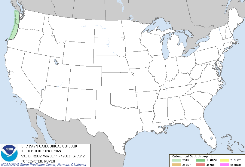
>>>The Storm Prediction Center has placed a large chunk of south central Texas in the SLIGHT RISK category for potential severe weather Saturday into early Sunday morning...area shaded in yellow below represents that SLIGHT RISK AREA...a slight risk for severe weather simply means there is a 15% chance at any one spot within that yellow shaded region of seeing severe weather (hail, high winds, tornadoes), although the tornado threat and hail threat does appear to be low. Obviously, it is important to remain weather aware when severe weather threatens.

***Please remember to heed all watches/warnings/advisories issued from the National Weather Service and its affiliates...please know and understand that this forecast may change slightly over the coming days so please stay tuned to the National Weather Service and your local weather for changing conditions***
No comments:
Post a Comment