So, what's causing this cloudy and showery weather during the middle of July? Well, it's not out of the tropics like one would expect this time of year, however, it is thanks to a strange tracking area of upper level low pressure that was located across the Mid-Atlantic states last week. Remember that BIG ridge of high pressure that gave us 104°F on Friday and 105°F on Saturday? Well, that ridge of high pressure has pushed west and allowed for a large area of low pressure to be pulled into the southern plains. Remember, low pressure causes air to rise...rising air in turn produces clouds which in turn produces showers and thunderstorms. High pressure does the exact opposite. The clouds and rain will help to keep temperatures below average for the next couple of days.
Low's Track:

Upper Level Low clearly evident on water vapor imagery (distinct counter-clockwise rotation):

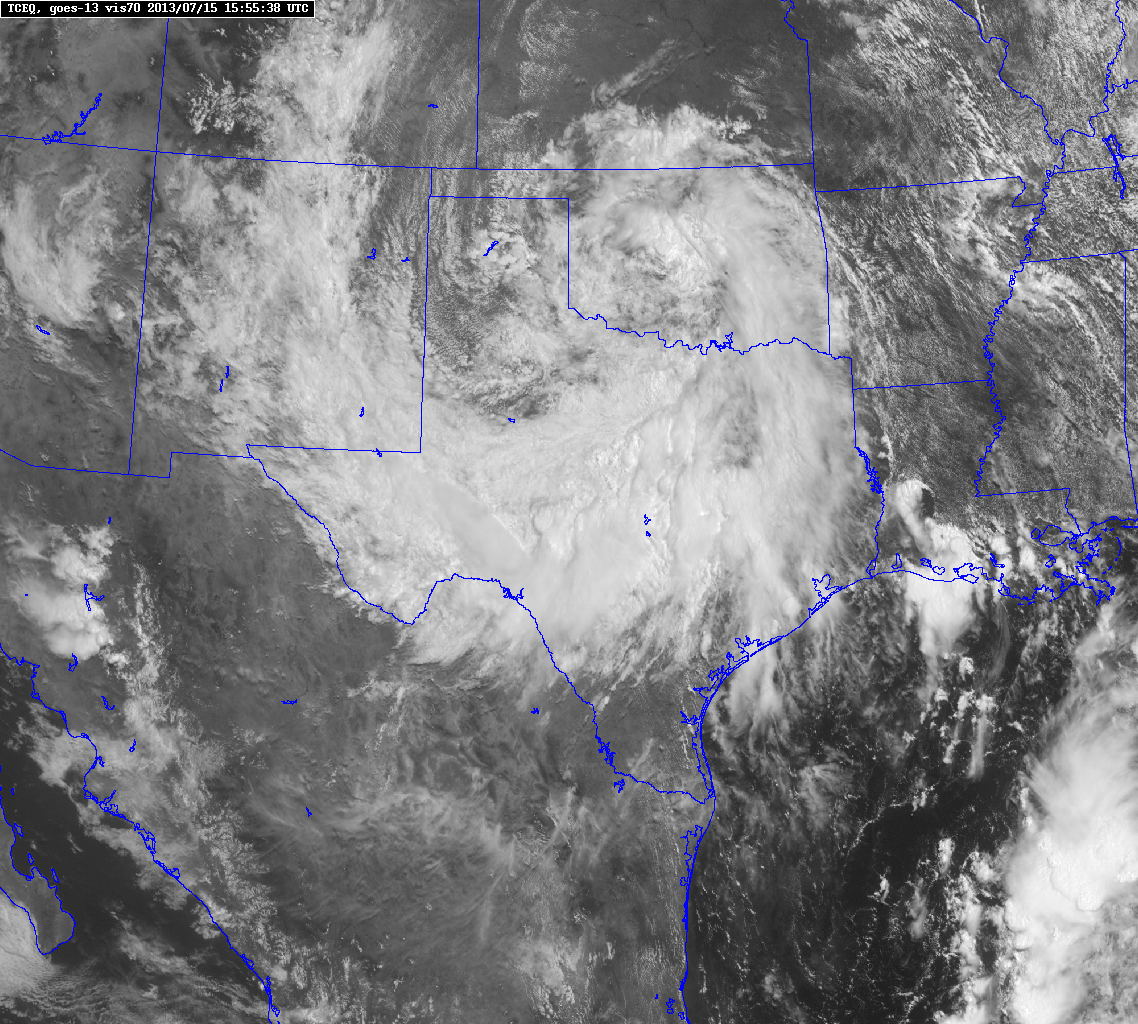
Latest Visible Satellite Imagery over Texas:
Latest Doppler Radar Loop: More heavy downpour popping along the I-35 corridor and another large area of heavy showers approaching from the west...A LOT MORE RAIN is on the way! Enjoy!

Latest high resolution forecast models say as much as 6 inches of additional rainfall could fall in spots across central Texas with some folks only picking up a half of an inch of rainfall through Wednesday evening.
Forecast Radar Monday Evening:

Projected Rainfall Totals through Wednesday Evening:
