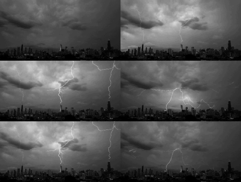
Good afternoon folks! Another terribly uncomfortable August day in progress across south central Texas. As of the 3pm update at Camp Mabry, the current temperature in Austin is 101°F, however when you factor in the oppressive 72° dew point temperature, the feels like temperature is topping 111°F. Today officially makes 23 degrees of triple digit heat for the year, so far! I know we've got at least two more days of triple digit heat (tomorrow and Saturday) to tick that total up to twenty-five.
Heat Relief?
Forecast models have persistently been indicating that we are going to see a break in this intense heat after Saturday. In fact, rain chances will be returning to the forecast as soon as Saturday afternoon/evening and look to persist through at least the middle portions of next week. As of right now, the best chance for widespread rainfall across the area looks to arrive on Sunday as a Gulf of Mexico disturbance and its associated moisture work together with a dying frontal boundary moving into the area from the north. The added cloud cover and rain/storm chances should help to drop highs down into the lower to mid 90s compared to the triple digit highs we're currently experiencing. While temperatures will go down, unfortunately humidity levels may do the opposite.
Extended Outlook:
The Climate Prediction Center, in their latest 6-10 day outlook are indicating near normal temperatures possible (mid/upper 90s) for our area and above normal rainfall for August 17-21st. If that comes to fruition, it will most certainly be welcome.
6-10 Day Temperature Outlook:
6-10 Day Precipitation Outlook:
Forecast Rainfall Accumulation:
So, how much rain will see over the next 5-7 days? Nailing down exact rainfall totals is not an easy task, but on average 0.25 to 0.75 inches of rain may be common with some locations receiving upwards of 1-3 inches, especially under heavier showers and thunderstorms. The atmosphere will have plenty of moisture to support heavy tropical downpours, so the risk of heavy rainfall will need to be monitored in the coming days. Let's keep our fingers crossed for a good rain event. It will certainly be a welcome sight and treat in the middle of August.
5 Day Forecast Rainfall Accumulation Map (courtesy of the Weather Prediction Center):
Safety: Remember that lightning poses a serious threat. If thunder is heard, you are close enough to a storm to be struck by lightning even if it is not raining at your location or if the sun is out. When thunder roars, go indoors!! Also, use caution when spending time outdoors in this extreme heat. Remember to stay hydrated and wear sunscreen/proper clothing to protect yourself from the extreme heat and the sun's harmful rays.
(Image [GIF] above courtesy of bestanimations.com)


No comments:
Post a Comment