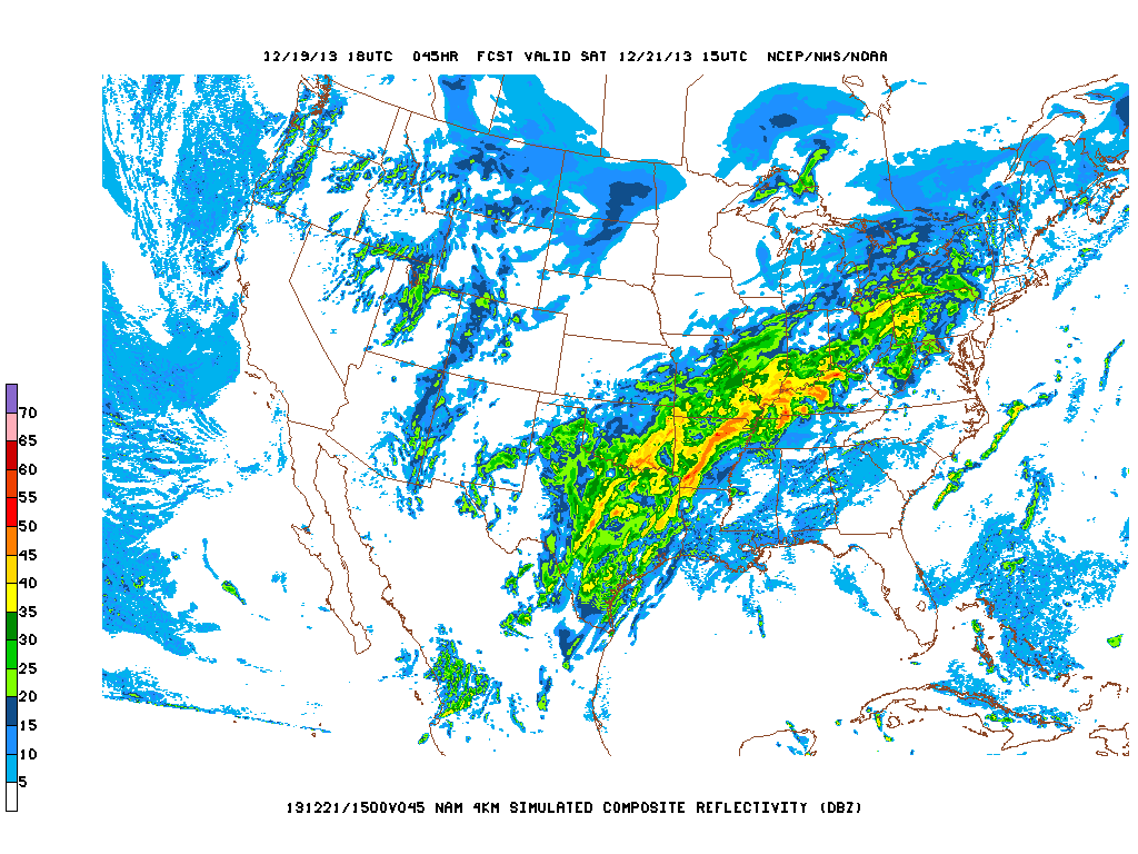
I'm monitoring a strong upper level low pressure system across southern California right now that will quickly approach Texas during the day on Friday and pass overhead by Saturday. Ahead of the area of low pressure Gulf of Mexico moisture will continue to pour into Texas on breezy/gusty southerly winds. As that storm system and its attendant frontal boundary approach the area I'm expecting showers and thunderstorms to develop as early as Saturday morning and persist through Saturday morning before skies rapidly clear on gusty northerly winds as much drier and cooler air infiltrates the region.
Upper Level Storm System:

Forecast Radar across the U.S. on Saturday:
Severe Weather Risk Map:

Cool, dry air will filter into the state behind the storm system and set us up for a windy, sunny, and much cooler Sunday with highs in the 50s. Lows will drop into the 30s area wide Sunday night and highs will top out in the 50s on Monday under a sunny sky. Light freezes possible Monday and Tuesday nights. Christmas Day looks mostly sunny and cool with a high in the lower 60s.
Forecast Highs across the U.S. on Christmas Day:

No comments:
Post a Comment